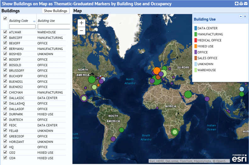
ARCHIBUS continues to support Map Views. These are views that combine GIS content -- such as satellite views, street map views, and demographic maps -- with your portfolio data. A multitude of off-the-shelf ARCHIBUS views use Map Views to visualize property holdings and their value, hazardous material evacuation radius, intensity of energy use, and a wealth of other information
In this release, we have upgraded the Map Views to use a new version of the ARCHIBUS Map control that features enhanced capabilities like thematic color and size marker renderers and proportional marker symbols. We have also replaced Flash-based map functionality throughout the ARCHIBUS applications with more modern, HTML5-based map views.
The Map Views depend on an embedded service from Esri, the ArcGIS Online Map Services. Currently, ARCHIBUS, Inc. arranges for these service feeds, and intends to leave them bundled with Web Central at no extra charge as long as ARCHIBUS, Inc. can continue to arrange the service.
For more information, see http://www.archibus.com/ai/abizfiles/v21.3_help/archibus_help/user_en/archibus.htm#../Subsystems/webc/Content/web_user/using_wc/special_views/working_with_map_views.htm
| Copyright © 1984-2015, ARCHIBUS, Inc. All rights reserved. |